See photos of Frøya on Google Images →
Frøya is Trøndelag’s oceanfront outlier - a municipality where lighthouses outnumber traffic lights, fish farms bankroll the future, and the local terrain is flatter than a pancake in a wind tunnel. With around 5,400 residents and over 5,000 islands, Frøya is the kind of place where you can kayak past seals, hike to a 76-meter “summit,” and still make it back for scallops and satire. It’s got aquaculture, archipelagos, and a tunnel so deep it makes submarines nervous.
Top Attractions
Sula Lighthouse
1904 beacon with views over the Norwegian Sea
See on Tripadvisor · 📍
Sula Chapel
1925 timber church tucked under the lighthouse
See on Tripadvisor · 📍
Vassbukta Kverva
coastal park with hiking trails and sea views
See on Tripadvisor · 📍
Stabben Fort
WWII coastal fortress built by prisoners of war
See on Tripadvisor · 📍
Mausundgløtt
boat tours, diving & safaris from Frøya’s largest fishing village
See on Tripadvisor · 📍

Unique Experiences
Besselvassheia
highest point on Frøya (76m) named by a geography-loving football coach
See on Tripadvisor · 📍
Frøya Tunnel
5.3 km undersea tunnel connecting to Hitra, 164m below sea level
See on Tripadvisor · 📍
Utihavet Festival
week 28 celebration with fishing contests & coastal culture
See on Tripadvisor · 📍
Frøya Arena
indoor football hall with climbing wall, gym & community events
See on Tripadvisor · 📍
Frøya Bygdetun
open-air museum with 1700s boathouse & coastal artifacts
See on Tripadvisor · 📍
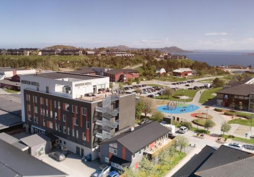
Where to Stay in Frøya


Getting There
Frøya sits off the coast of Trøndelag, connected to Hitra and the mainland via the Frøya Tunnel. The administrative center is Sistranda, with ferries to Mausund, Sula, and Froan. The landscape is open, treeless, and dotted with marshes, making it ideal for biking, birdwatching, and losing track of time. Bring layers, boots, and a taste for seafood.